I took a river cruise (with Lindblad/National Geographic) down the Snake River from Lewiston Idaho to the Columbia River to its mouth on the Pacific Ocean west of Portland, Oregon. Many interesting places went by while in the bus or on the ship. Here is a tour: the trip through the window.
My husband and I flew to Spokane, Washington, so the trip actually started with a bus ride 100 miles south to Lewiston, Idaho. It was April 7, a cloudy early spring day in Spokane. There is a spectacular city center I hope to walk through one day.
 |
Spokane Washington
|
 |
| The Spokane River, Spokane, Washington |
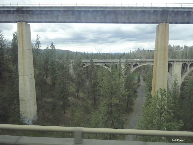
On a bus, we took Route 195 south to Lewiston, Idaho. We crossed over and along some neat bridges close to Spokane. It was heavily forested.
And then the trees were gone. Route 195 goes nearly due south, through an ecosystem called the Palouse. This region (the corner where Idaho, Oregon and Washington meet) has soils that formed from the deposit of wind-blown particles (off glaciers and from volcanos) that accumulated up to 250 feet deep in places. Soils like this are called loess, and are generally very fertile. (Loess is the soil of much of the Corn Belt, Ohio to Nebraska). I was told that the Palouse was a grassland of small grasses before agriculture, but we drove through mile after mile of agricultural fields, especially wheat, still looking brown in the early spring. The area is in the rain shadow of the Cascades and gets 10-20" rain a year; dryland wheat is often grown, most other crops need supplemental water. Recent expansion of wine grapes into the area takes advantage of low natural rainfall, allowing growers to control the moisture available to the vines.
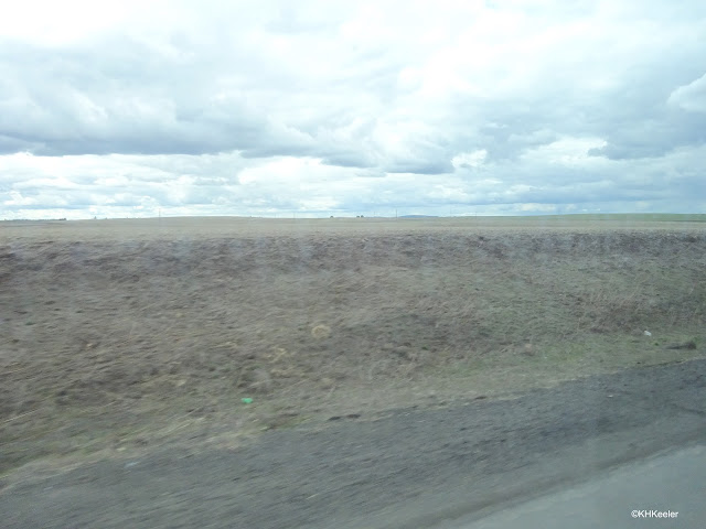 |
The Palouse, featuring loess soil (note that it is at least three feet deep--the upper ridge--and probably more like 20 if the rest of the bank is loess).
|
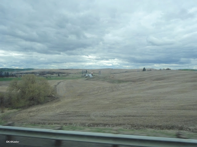 |
| Farmland in the Palouse |
We crossed the Snake River to board the
National Geographic Sea Bird in Lewiston, Idaho. I had a window on the north side of the ship as we turned west to go down the Columbia River.
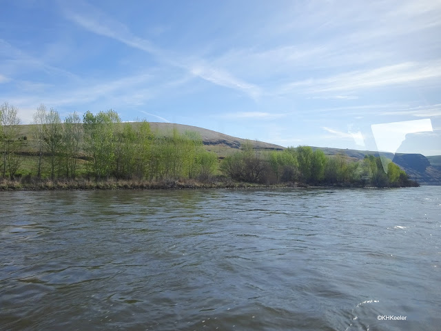 |
Snake River at Lewiston, Idaho, actually the Washington shore of the river
|
 |
near Clarkston Washington
|
Sailing seaward.
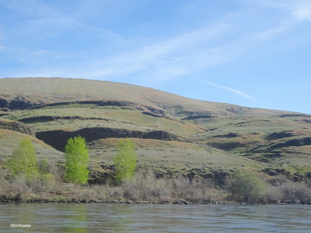
Dry, dry hills bordered the river while we were on the east side of the Cascade Mountains.
The Columbia River plunges down to the Ocean, dropping an average of 2 feet per mile for the more than three hundred miles from its confluence with the Snake River to the city of Astoria on the Pacific. Dams control that turbulence. We passed through seven dams on the Snake and Columbia. Very simple for us passengers, we rode into the lock and waited while the water was released, dropping the ship with the water. Then onward.
 |
How a lock looked from the cabin window: concrete walls and the white gadget which dropped as the water and ship dropped. A photo 15 feet lower down would look the same.
|
Morning on the river:
 |
| Early morning. We were at anchor. |
 |
a similar view - I thought the reflections exquisite
|
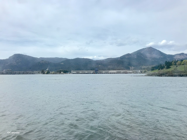 |
along the Columbia; often empty shores...and then great industrial complexes
|
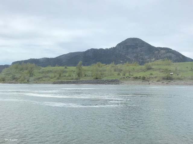
Periodically there were all kinds of industrial buildings near the river, though they were most often in towns. Lots of barge traffic carries grain and other heavy things from the interior of Washington, Oregon, and Idaho to the Pacific and then on to the world--and from the world up the rivers--but April is a pretty slow time. Likewise, pleasure boats must be very common in summer, but it was chilly early spring. Often we saw no other river traffic. No waiting at the locks.
 |
| Along Columbia River |
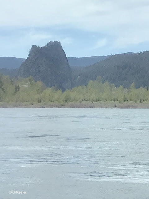 |
Columbia River, nearing the Cascades. Probably cottonwoods along the shore.
|
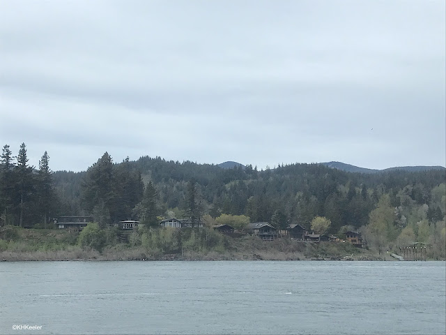 | | | |
Suddenly we were sailing past forests
|
|
|
I never saw the mountains, but the vegetation changed very obviously. The Cascades block the rain, making the east side too dry for trees. The land along the river in eastern Washington and Oregon was a dry grassland, with sage brushes (Artemisia) and water-efficient shrubs. (And agriculture). Very quickly, the river passed through a gap--we did it at night--and onto the west, Pacific, side of the mountains. The rain on the west is twice to four times that of the east side and supports much bigger plants.
 |
some glorious rock formations under the forest
|
 |
Forests lined the shore
|
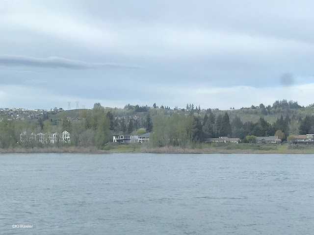 |
Houses started to appear
|
I was surprised how long on the Pacific side of the Cascades we traveled without seeing houses on the shore. A look at a map shows it is Gifford Pinchot National Forest. Ah.
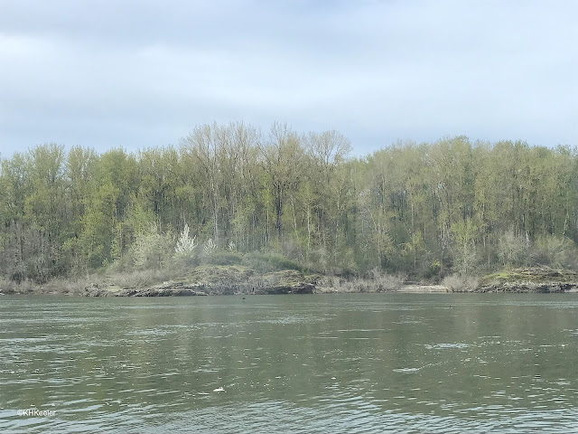 |
| And more early-spring forest. | | | |
|
I don't know what the little white trees are. Along the Snake River the white shrubs were serviceberries (Amelanchier alnifolia) but here, in wet Pacific-side forests, they could also be chokecherry (Prunus), wild plum (also Prunus) or something western that I don't know.
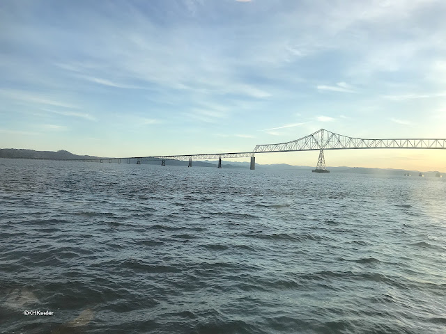 |
| Bridge between Oregon and Washington, at Astoria, Oregon |
I caught a cold and slept through the day in Astoria (alas!). The ship went to refueling dock and I took this picture from my window. There were pigeons nesting there, though they are not in my photo.
 |
Under the dock.
|
Then the ship returned to its dock, where the Diawan Miracle was docked beside it.
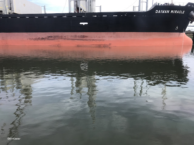 |
| This was a sight from my window during the trip, but this view also will orient you for the photo below. |
|
|
I thought the play of the reflection of the Diawan Miracle off the water as the red blended with the green of the river was fascinating: red turns to green before your eye.
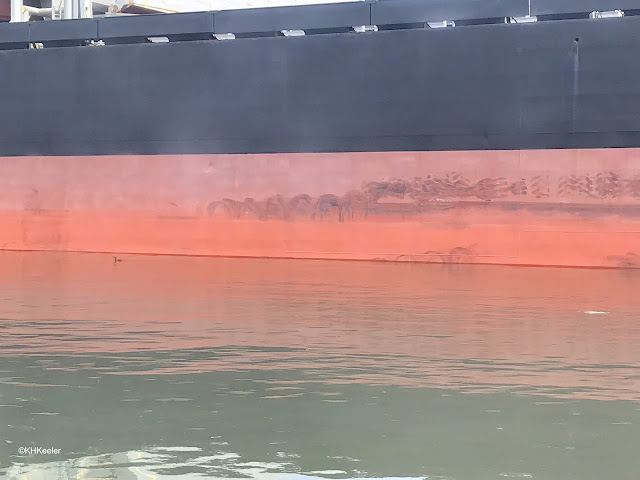 |
| In addition to the color of the water, you can spot a diving bird and wonder with me at the black scuffing on the ship; what was it from and doesn't it look like some of the shorelines I saw? |
Portland, Oregon. Trip's end.
 |
| The harbor in Portland, Oregon | | |
|
We sailed east, back up the Columbia from Astoria to disembark at Portland. Just after this photo, we left the ship, trip over.
It is a beautiful and interesting area. These few photos from my window are just a small part of my experience. But, look! a cheap camera or cell phone (second half of the photos are from the phone) can take good photos through a dirty window, if you get close enough that the lens cannot focus on the smudges. (I learned that during the trip, then tried it.) And even if you only looked out the windows on the cruise--surely not!--it was fascinating.
Comments and corrections welcome.
Kathy Keeler
A Wandering Botanist


No comments:
Post a Comment